
DeZwerver.nl
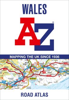
Wegenatlas Wales road atlas | A-Z Map Company
Wegenatlas Wales road atlas | A-Z Map Company
Verzendkosten € 2,95
11,95

Gevonden bij 1 winkel vanaf
€ 11,95
(minder betalen?)
Handige wegenatlas op A5 formaat, makkelijk te gebruiken met grote letters en heel goed leesbaar. De schaal is behoorlijk gedetaileerd en zeker ook voor fietsers goed te gebruiken. Met veel aanduidingen van toeristisch interessante plekken.
Full-colour road atlas of Wales, with extended coverage into England and including all the major routes into the country. The detailed road mapping also includes Liverpool, Warrington, Nantwich, Shrewsbury, Hereford, Bristol and Severn River Crossings.
Published at a clear 2.5 miles to 1 inch the following features are shown on the road mapping:
Motorways open with full junction detail, motorways under construction and proposed, motorway service areas, primary routes and destinations, A and B roads, selected minor roads, gradients 1:5 and steeper, tolls, mileages, national and county boundaries, spot heights and hill shading
Selected places of interest, tourist information centres and golf courses
National Park boundaries for Snowdonia, Brecon Beacons and Pembrokeshire Coast
Also included are 21 city, town, airport, or port plans for; Aberystwyth; Bangor; Cardiff; Caernarfon; Carmarthen; Chester; Colwyn Bay; Hereford; Llandudno; Llanelli; Merthyr Tydfil; Newport; Prestatyn; Rhyl Shrewsbury; Swansea; Wrexham; Cardiff International Airport; Holyhead Port; and Pembroke Dock.
Two separate indexes provide extensive coverage of cities, towns, hamlets, and places of interest within Wales. Corresponding map symbols alongside each entry make for easy identification.