
DeZwerver.nl
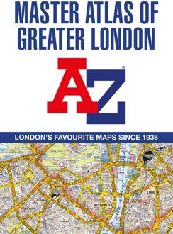
Wegenatlas A -Z Master Atlas of Greater London | A-Z Map Company
Wegenatlas A -Z Master Atlas of Greater London | A-Z Map Company
Verzendkosten € 5,95
29,95

Gevonden bij 1 winkel vanaf
€ 29,95
(minder betalen?)
De ultieme stratengids van Londen en directe omgeving. Super gedetailleerd en alle straten staan er op, met een enorm register bovendien.
The ultimate street atlas to navigate your way around London. A comprehensive paperback street atlas of London encompassing an area of 1450 square miles with coloured street mapping, and including more than 90,000 streets and other addresses. The coverage extends beyond the Greater London and M25 area to: Hemel Hempstead, St.
Albans, Potters Bar, Waltham Cross, Epping, Brentwood, Thurrock, Stanford-le-Hope, Gravesend, Wrotham, Sevenoaks, Westerham, Oxted, Redhill, Reigate, Leatherhead, Great Bookham, Woking, Egham, Windsor, Slough, Chalfont St. Peter, Chorleywood, Bovingdon There are eighteen pages of large scale (9" to 1 mile) street mapping of central London which gives additional clarity and detail, this mapping extends to: Regent's Park, St. Pancras International Station, Old Street, Tower Bridge, Bricklayer's Arms Junction, Vauxhall Bridge, South Kensington, Paddington Station and Lord's Cricket Ground.
Postcode districts and one-way streets are included on the street mapping. Other features include:* The Congestion Charging Zone (CCZ) boundary which is shown on both scales of mapping and an overview map of the zone is also included. * The Greater London Low Emission Zone boundary is shown on the street mapping and an overview map of the zone is also included.
* The Ultra Low Emission Zone (ULEZ) boundary* There are eight pages of road mapping at 3 miles to 1 inch that cover much of the Home Counties area. * The London Underground map. * The London Rail Connections map.
* West End Cinema and Theatre maps. The index section of the atlas lists streets, selected flats, walkways and places of interest, junction, place and area names; hospitals, hospices and NHS Walk-in Centres. Also included are National Rail stations, Croydon Tramlink stops, Docklands Light Railway stations, London Underground stations and River Boat stops covered by this atlas.