
DeZwerver.nl
Wegenkaart - landkaart 726 Frankrijk Route Planning 2025 | Michelin
Wegenkaart - landkaart 726 Frankrijk Route Planning 2025 | Michelin
Verzendkosten € 2,95
13,95

Gevonden bij 1 winkel vanaf
€ 13,95
(minder betalen?)
Uitgebreide algemene wegenkaart van Frankrijk. Naast de hoofdwegen worden ook alternatieve routes aangegeven.
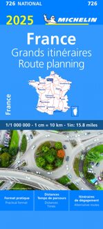
A route planning map of France from Michelin, showing just the network of motorways and the connecting primary and secondary roads, with congested sections and alternative routes, all with distances and driving times.
The main map, plus the enlargements for the outskirts of Paris and Lyon, show the network of motorways (with toll barriers, names of service areas, and junction numbers indicating full or partial interchanges), dual carriageway roads, plus primary and secondary roads, all with both driving distances and journey times. Also marked are towns used as primary destinations on green road signs along the major routes, and locations of speed cameras. Particularly congested areas are clearly highlighted.
The map also shows Michelin’s recommendations for alternative routes to avoid traffic congestion in many popular holiday areas such as the Dordogne, Cevennes, Languedoc-Roussillon, the Rhône Valley, the Alps, etc. Also provided are two tables showing driving distances and journey times between 50 towns.
Map legend and all explanatory text include English.
Ajaccio, Bordeaux, Brest, Clermont-Ferrand, France, Le Havre, Lille, Lyon, Marseille, Nantes, Nice, Paris, Strasbourg, Toulouse