
DeZwerver.nl
Fietskaart 05 Cycle Maps UK Kent, The High Weald and Kent Downs | Cordee
Fietskaart 05 Cycle Maps UK Kent, The High Weald and Kent Downs | Cordee
Verzendkosten € 2,95
12,95

Gevonden bij 1 winkel vanaf
€ 12,95
(minder betalen?)
Een nieuwe fietskaarten serie van Groot-Brittannië. Gedrukt op scheur- en watervast papier en mooi handzaam klein formaat. Deze kaarten zijn met name heel goed om de Lange Afstands Fietsroutes (LF) te fietsen, het National Cycle Network staat duideljk ingetekend. Daarnaast vind je op de kaart veel praktische informatie als fietsenmakers, campings, jeugdherbergen en supermarkt.
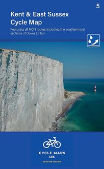
Map 5 covers Kent and East Sussex. Featuring all NCN routes including the southernmost sections of Dover to Tain.
The maps are all produced at a scale of 1:100 000 showing important features including the National cycle Network. Sections on road, off road and traffic free are all shown in differing colours along with their route number. Other roads and their classification are shown enabling you to link rides or explore sections and discover new routes at home or further afield.
Facilities such as toilets, pubs, accommodation, bike shops, repair stations and railway stations are all shown. The mapping also has relief shading giving you a clear picture of the terrain (and steepness of any hills) you will encounter.
Scale: 1:100 000 (10mm = 1 Km, 16mm = 1 Mile)
Folded size: 163mm x 105mm
Unfolded: 650mm x 800mm
Tear and water-resistant paper
Double sided