
DeZwerver.nl
Spoorwegenkaart The British Isles by Train and Ferry | Cosmographics
Spoorwegenkaart The British Isles by Train and Ferry | Cosmographics
Verzendkosten € 2,95
19,50

Gevonden bij 1 winkel vanaf
€ 19,50
(minder betalen?)
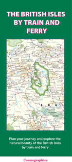
Plan your journey and explore the British Isles by train and ferry. This attractive, detailed map shows how the rail network, along with ferries to the more isolated areas, allows you to travel to places right across the British Isles and take in the beautiful scenery. The map clearly shows National Parks, Areas of Outstanding Natural Beauty, forest and woodland areas and the Heritage Coast in England and Wales, much of which is accessible by train and ferry. The rail network includes seasonal and heritage railways. There is also a more detailed map of the London National Park City, the world’s first National Park City. Designed to be fully inclusive and accessible for everyone, including those with colour vision deficiency (CVD).
Map includes:
Passenger rail network with the majority of stations.
Seasonal and heritage railways
Ferry routes
National Parks
Areas of Outstanding Natural Beauty
Main forest and woodland areas
Heritage coast in England and Wales
Formaat: 74.5cm x 110cm