
DeZwerver.nl
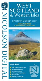
Wegenkaart - landkaart West Scotland & Western Isles | Nicolson
Wegenkaart - landkaart West Scotland & Western Isles | Nicolson
Verzendkosten € 2,95
12,95

Gevonden bij 1 winkel vanaf
€ 12,95
(minder betalen?)
Based on the Ordnance Survey 1/250000 Road mapping.
Road Map 2 covers West Scotland & the Western Isles. Please scroll through the images to see the area of coverage (in white). This sheet covers from Dumbarton in the south west, due north to Loch Eribol (east of Durness) all the way west to Lewis, Harris, the Uists, Benbecula & Barra. It also includes an inset of Islay & Jura.
Features:
• Clear road mapping & ferry routes
• Index to place names (which the Ordnance Survey version doesn't have)
• National & forest parks
• Contours and peak heights
ISBN 9781912046591
Cover size 133mm wide x 240mm tall
Sheet size (when unfolded) 952 mm wide x 1250 mm tall