
DeZwerver.nl
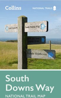
Wandelkaart National Trail Map South Downs Way | Collins
Wandelkaart National Trail Map South Downs Way | Collins
Verzendkosten € 2,95
11,50

Gevonden bij 1 winkel vanaf
€ 11,50
(minder betalen?)
Overzichtskaart op vrij grove schaal van deze LAW Lange Afstands Wandeling in Engeland. Wel met veel informatie op de kaart, goed ingetekend, een route-schema op de achterzijde en een beschrijving van een aantal bezienswaardigheden. ALs je voor lichtgewicht gaat, is dit al vrijwel voldoende om met de bewegwijzering ter plekke de route te kunnen lopen.
Perfect guide and map for planning your adventure along the South Downs Way.
Highlights of this Planning Map include:
More than 20 highlighted places of interest with detailed descriptions and attractive photographs, including: Brighton Pier, The Long Man of Wilmington, and Seven Sisters
A comprehensive index to more than 800 cities, towns and villages
A clear, visible route plotted across a 2 miles to 1 inch ( 1.25 km to 1 cm) scale map
Advice on safety and security when travelling along the route, as well as the countryside code and the code of conduct
Part of the National Trail network, this long distance footpath covers 100 miles (160 km), starting in Winchester and finishing in Eastbourne, and lies completely within the South Downs National Park. Suggested itineraries for walking, cycling or horse-riding make it easy for users to plan their journey along this scenic route.