
DeZwerver.nl
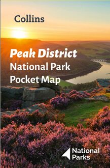
Wegenkaart - landkaart National Park Pocket Map Peak District | Collins
Wegenkaart - landkaart National Park Pocket Map Peak District | Collins
Verzendkosten € 2,95
7,95

Gevonden bij 1 winkel vanaf
€ 7,95
(minder betalen?)
Handige kleine kaart van dit Nationaal Park. De kaart geeft een goed en helder overzicht van het gebied met alle plaatsen, doorgaande wandelpaden (alhoewel grof van schaal), bezienswaardigheden etc. Met een register en aanvullende tekst onder de kaart is het een mooi overzicht wat je waar kunt gaan doen.
Handy little full colour map of Peak District National Park. Detailed mapping and visitor information to the National Park along with a selection of photographs. Map at a scale of 1:120 000 (1cm to 1.20km, 1.9 miles to 1 inch).This small map gives a great overview of the Peak District National Park, and is the perfect companion for exploring this beautiful area of England.• Clear, detailed mapping• Key park, tourist and travel information• Ideal for planning visits to the National Park• Index to help locate and plan your trip• Information on the Pennine Way, Stanage-North Lees, caving activities and other places of interest