
DeZwerver.nl
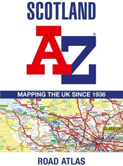
Wegenatlas Scotland - Schotland | A-Z Map Company
Wegenatlas Scotland - Schotland | A-Z Map Company
Verzendkosten € 2,95
13,50

Gevonden bij 1 winkel vanaf
€ 13,50
(minder betalen?)
Handzame gedetailleerde wegenatlas van Schotland.
Navigate your way around Scotland with this detailed, full-colour and easy-to-use A-Z Road Atlas.
From the border to the north coast, the mainland pages scale is 3.5 miles to 1 inch and the Western Isles, Shetland Islands and Orkney Islands scale is 4.5 miles to 1 inch.
Covering the entire country, this road atlas includes the following features:
• Motorways with full junction detail, primary routes and destinations, A & B roads, under construction and proposed roads, service areas, tolls, mileages, national, county and unitary authority boundaries
• Cairngorms and Loch Lomond & The Trossachs National Park boundaries
• Selected places of interest and tourist information centres
20 city and town street maps are included for Aberdeen, Aviemore, Ayr, Dumfries, Dundee, Dunfermline, Edinburgh, Glasgow, Falkirk, Fort William, Hamilton, Inverness, Kilmarnock, Kirkcaldy, Motherwell, Oban, Paisley, Perth, St Andrews and Stirling. Also included is a comprehensive index to cities, towns, villages, hamlets and locations.
Also included are 20 city and town plans for:
Aberdeen
Aviemore
Ayr
Dumfries
Dundee
Dunfermline
Edinburgh
Glasgow
Falkirk
Fort William
Hamilton
Inverness
Kilmarnock
Kirkcaldy
Motherwell
Oban
Paisley
Perth
St Andrews
Stirling
There is a comprehensive index to cities, towns, villages, hamlets and locations.