
DeZwerver.nl
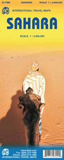
Wegenkaart - landkaart Sahara | ITMB
Wegenkaart - landkaart Sahara | ITMB
Verzendkosten € 2,95
13,95

Gevonden bij 1 winkel vanaf
€ 13,95
(minder betalen?)
Een degelijke overzichtskaart met aanduidingen van o.a. nationale parken, vliegveld, benzinepomp, dirt-roads.Waterproof.
Double-sided, waterproof and tear-resistant map, extending east to just beyond 25°(the border of Libya and Egypt) , and roughly to 15° degrees (Bamako and Niamey) on its western half, and slightly further south on the other side (beyond Kano and Ndjamena). Elevation colouring indicates the topography, with landscape feature such as calderas, scarps and cliffs, lava fields, dunes, serir, marches, seasonal rivers, and salt pans. Oases and numerous wells/waterholes are also marked, most of them with names. International boundaries are shown with, where appropriate, border crossings. Road network includes rough tracks, and indicates location of petrol stations. Railways within the coastal areas of the covered countries are marked, and the map also shows small local airfields. A range of symbols indicate selected accommodation including rest houses and campsites, hospitals and medical facilities, parks and reserves, places of interest, etc. Oil wells and pipelines are also marked.
Latitude and longitude lines are drawn at 5° intervals. The map is annotated with geographic and historic information and has an index of place names and a glossary of local geographic terms.